
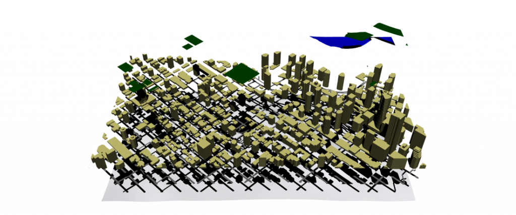
This is an update on the last post. I am creating more maps based on the last one. I also separated the layers of the different “instant” visual information within the map itself.
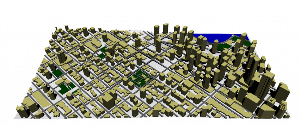
The map size is 1km square or 1’000,000 meters squared.
- Green spaces sum up to 39,150 meters squared, or 3.9% of the total area.
- Water covers 27,427 meters squared, or 2.7% of the total area.
- Streets represent around 192,366 meters squared, or 19.2%.
- Buildings take up 2’040,902 meters squared. Double the area of the map itself or the topography available.