
Since the dawn of humanity, stories have allowed people to shape and share their experiences by structuring the surrounding reality. This power has increased through the ages due to developments in technology and media habits, giving strength to the storytelling practice itself.
Living in a highly mediated world means that most of our experiences are conveyed through some platform of social media. But now, because of the pandemic, more than half of our life is online, living in small isolated bubbles, but virtually we are everywhere, and because of that, we must own and control our digital self.
Charles and I have been sharing our experiences of living in Pakistan and India, then questioning everything encompassing us over time. This is how a very casual WhatsApp conversation turned into a discussion about “imaginary lines” called borders started; our home countries Pakistan and India, are neighbours and have a very complicated political history. A HEIGHTENED state of tension persists in the subcontinent, with relations between two countries at a, particularly low point. At the same time, relations have never been ideal, with mostly downs and very few ups ever since 2014. The issue regarding Kashmir has been especially testy ever since partition.
History lesson time –
The Muslim-majority Himalayan region of Kashmir has been at the heart of more than 70 years of animosity since the partition of India’s British colony into the separate countries of Muslim Pakistan and majority Hindu India. India rules the populous Kashmir Valley and the Hindu-dominated region around Jammu city. Pakistan controls a wedge of territory in the West. China holds a thinly populated high-altitude area in the north. So United Nations -monitored ceasefire line agreed in 1949 and formalized into a Line of Control (LOC) in 1972 splits Kashmir into two areas – one administered by India, one by Pakistan.
Presently both countries google maps show different LOC.So whose google map is correct? Saudia Arabia recently used the Pakistani version of the map on their new currency note, which raised many questions from the Indian officials. Charles spontaneously gathered data from our cohort members located in different regions, humbly inquiring and observing their shared data with me. It clearly showed how the same information is displayed differently according to one country and its political position and relation with the other country.
However, my main concern would be how are these big tech companies like Google, Facebook etc. are being regulated by countries government; while having this whole conversation on WhatsApp with Charles, I shared Pakistan’s official map pdf (with updated LOC) with him because he couldn’t access it through an Indian IP address. Exactly a week later, I received the following messages in Urdu and English from the authorized number of Pakistans government:
Pakistan Published Map of Pakistan on 4th August 2020, which is available on the website of Survey General of Pakistan (surveyofpakistan.gov.pk). Any Wrong depiction of a map is strictly prohibited.
نقشےکی غلط عکاسی قانونکی خلاف ورزی ہے۔قانون کےمطابق نقشےکی غلط عکاسی کی سزا5سال قیدیاپچاس لاکھ روپےجرمانہ یادونوں ہیں۔
According to law, any wrong depiction of the map shall be liable for imprisonment up to 5 years or a fine of PKR 5 Mn or both.
The key takeaway from this conversation reflects on the power structures and how now more than ever, we are surrounded by exciting imaginary worlds in which the audiences enter vicariously, spending a certain amount of time speculating and exploring the narrative space but still remaining oblivious.
Blog Link to Charles Action : http://fullresgradstudios.ecuad.ca/csimon44904/2020/11/02/action-7/
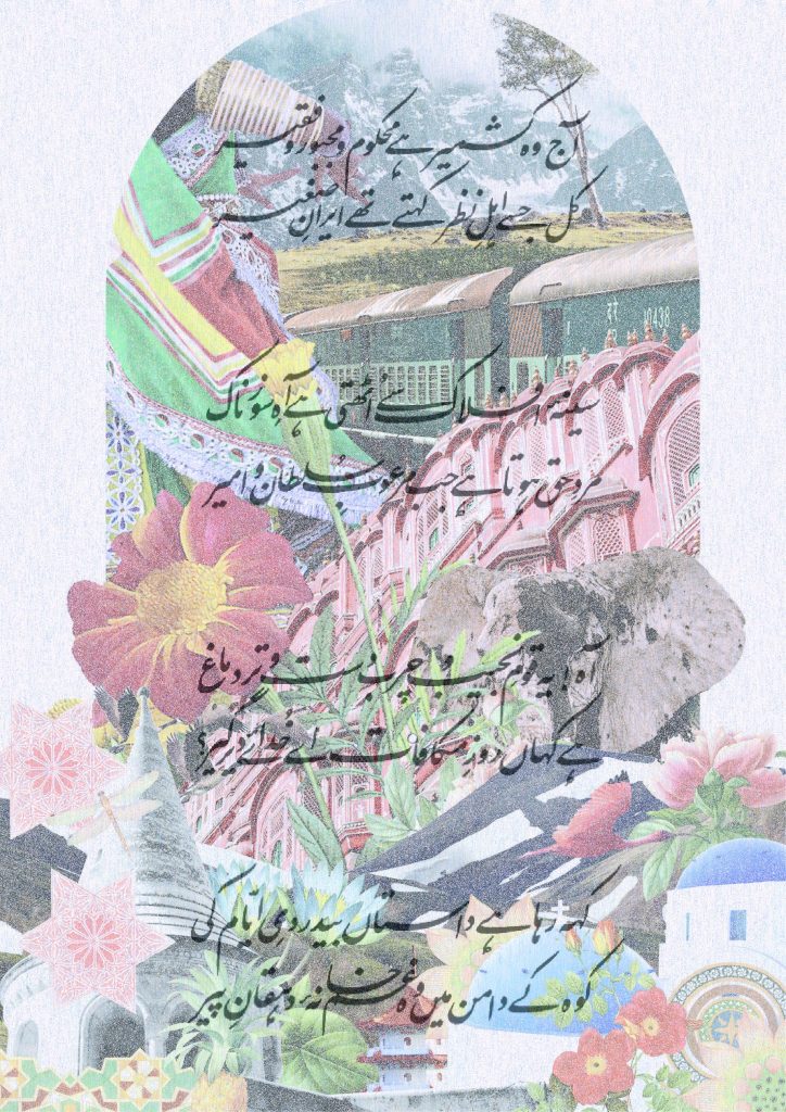
Image – Mixed media collage