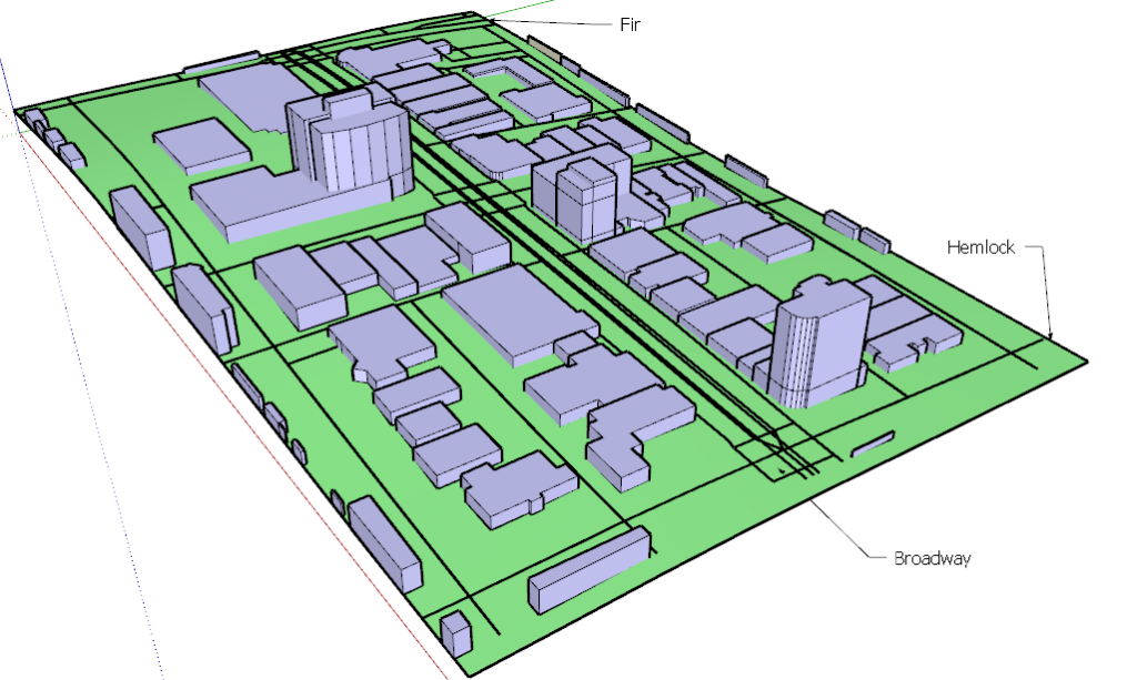
Maps are conveyors of information. Vessels of knowledge and thoughts. These were statements that came to my mind while doing the last few explorations.

This is why I decided to create maps as a way to inform the results of my research. This has proven no easy task. Although the most common map for me, is one that can have different layers of information, I found it to be too logical. This type of map did not allow nor invite to reflection. The information that it has, is what you get.
As I mentioned on the previous exploration, I wanted to create maps of cities that could inform designers where are the opportunities for urban design improvement. But how to do this without an authoritative voice. This research can’t be a perfect solution, nor an omnipotent strategy. As this will cripple one of its basis: speculative design and its inherently challenge to the status quo.

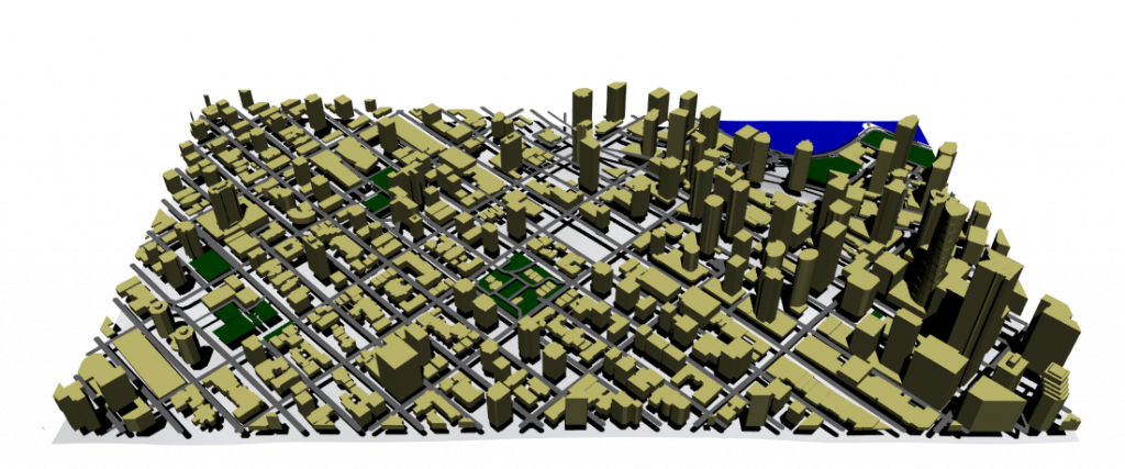
This 1 km2 map shows a walkable distance of around 15 minutes. We can see that the denser the area the sporadic green spaces are fewer and larger central ones are accommodated. But this map does not invite for a more reflexive read.
I’ve been taking the concept of mapping in a very “modern” way, where its purpose is to “geolocate” and advertise “what is around”. I think I have to look further into other types of mapping. I need another perspective.
