Categories
Psychogeography Speculative Design

Creating Maps

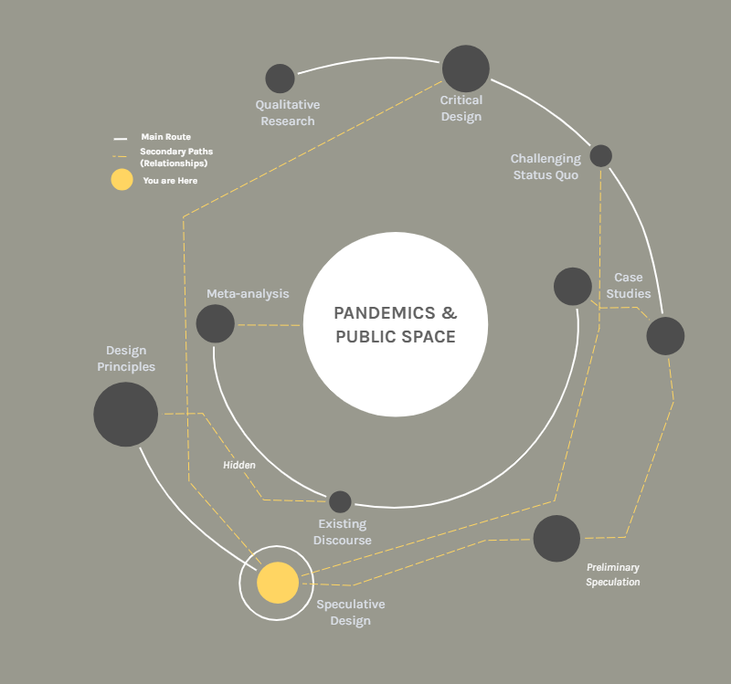
Maps are conveyors of information. Vessels of knowledge and thoughts. These were statements that came to my mind while doing the last few explorations.

A map that shows 4 blocks of Vancouver’s neighborhood Fairview. This view was chosen as it was an example of different roads merging.

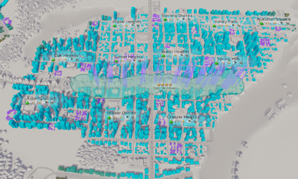
This is why I decided to create maps as a way to inform the results of my research. This has proven no easy task. Although the most common map for me, is one that can have different layers of information, I found it to be too logical. This type of map did not allow nor invite to reflection. The information that it has, is what you get.

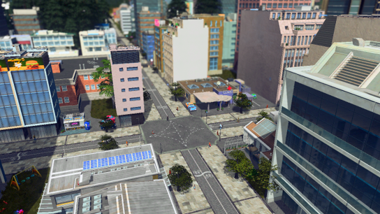
As I mentioned on the previous exploration, I wanted to create maps of cities that could inform designers where are the opportunities for urban design improvement. But how to do this without an authoritative voice. This research can’t be a perfect solution, nor an omnipotent strategy. As this will cripple one of its basis: speculative design and its inherently challenge to the status quo.

A 1 kilometer square map, it shows parts of Vancouver’s West End and Coal Harbour. Parks are shown in green. Streets in gray. Buildings in beige. Water in blue. Topography in white.

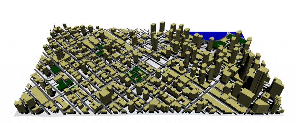
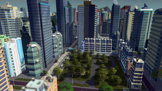
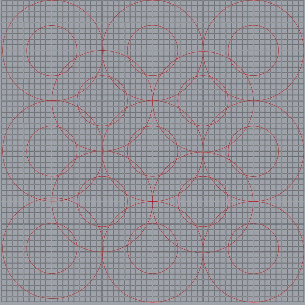
This 1 km2 map shows a walkable distance of around 15 minutes. We can see that the denser the area the sporadic green spaces are fewer and larger central ones are accommodated. But this map does not invite for a more reflexive read.

I’ve been taking the concept of mapping in a very “modern” way, where its purpose is to “geolocate” and advertise “what is around”. I think I have to look further into other types of mapping. I need another perspective.

Categories
psychocartography Psychogeography Speculative Design

A Fantasy City

It was a Thursday around ten at night, and the next day I needed to show and explain advancements in my research. By this time I already had a presentation, but I felt it didn’t quite explain all the work or mind processes that I’ve been doing or were in my head.

So, I decided to create a Fantasy City, a one place-discussion focus that could showcase of all the relevant subjects and explorations I was working with.

A crossroad depicting the New Small Street exploration.

In this case I decided to use the city-building simulation game Cities: Skylines. This allowed me to access thousands of resources and mods from the player community, and I was able to depict my explorations very quickly.

A Small Green Space within a very dense area.

I took every insight I had and somewhat plug it in. Some of them I haven’t made an exploration, like Small Green Space. I used the Grid exploration to allocate services and needs. I used the New Broadway exploration for the roads of the city, giving me a unique view of a city with a less car-centric street approach.

The map of the Fantasy City, the purple areas show small green spaces. The encircled area is a big park. The different shades of brown to blue in buildings showed how “happy” the residents were.

But the most interesting thing about using this platform, was the various map views that gave me with information needed, in order to achieve the many goals the game has.

This inspired me to create the current exploration I am working on: maps of cities that can inform designers where are the opportunities for urban design improvement.

Exploration in progress, soon to be uploaded.

Categories
Psychogeography Public Space Speculative Design

New Broadway

In order to get better understanding while doing my explorations, I decided to relate them to the city which I am a resident from: Vancouver.

It is not a surprise that most North American city’s after the Second Industrial Revolution were modeled or adapted a more car-centric urbanism. I took Broadway as an example for this exploration.

This is a model of Broadway as it is now, with exclusive bus lanes and 4 car lanes. In the center there is another lane that serves as a left turn lane in pertinent crossings, but is removed mid block to give space for parking.

I wanted to see if with a less car-centric view I could accommodate the same traffic lanes and add space to other forms of transportation.

So, just by removing the flex space contemplated for parking/left turn lanes, it could be possible to add dedicated bike lanes protected with median strips lined with trees.

This simple exercise made me realized how much space in roads is contemplated or reserved for possible car usage.

I decided to take a width of a small residential street, which usually has little traffic and thoroughly transforming it into a pedestrian-centric road.

In this case I widened the sidewalks to allow more space for pedestrians, dispersing crowds an important trait in a socially distancing world. Local traffic or emergency/service vehicles could take up the bike lanes in case its needed.

Categories
Public Space Speculative Design

Grids

One of the explorations that I made, as I wanted to dig deeper in some of the insights from the summer research, was to create a grid pattern of blocks. Then, as an added layer, I created a pattern of circles, representing 1.5 km radius ̶ which is a 15-minute walk ̶ and 3 km radius or a 15-minute bike ride.

This simple grid represents a rather large city of 324 km2 ̶ around the size of Philadelphia ̶ . If we wanted to create a multi-center city, in this grid that would mean at least around 13 centers that could provide with all the services needed. This exploration of course does not take density into consideration, just area.

This would mean that a city like Vancouver (114.97 km2) would only require a minimum of 4 to 5 centers. In contrast, Vancouver is divided in 23 official neighbourhoods, a way to break up the city’s geographic area for delivering services and resources.

Categories
Critical Design psychocartography Speculative Design

Where Am I?

This YOU ARE HERE map serves the purpose to locate where I am at my research.
Categories
Critical Design Psychogeography Speculative Design

A Map with Insights

Mapping the research:
A map that can become a fantasy city.
The image of the map was taken on 2020/10/10. If you want to see the current version of the map and more details, please visit: https://app.milanote.com/1KlSaN13Zrk54J?p=PmGJLVpNxPq

This map shows the direction of the research. Using the summer document as a starting point, and applying the four main insights into different explorations. The map is continuously updated as work and research evolves.

The insights explored are the following:

  • Six Feet Unit: Professor Sara Jensen Carr explains that “six feet could be the new unit we use when we think about cities and public parks”. (2020) But I think the six-feet is more than a unit of measurement, as it might become a unit of wellness, where the public can have a specific amount of air and space to be healthy and feel safe. But this measure immediately wants to disperse the public, and this is a contradictory idea, as urban planners have traditionally place emphasis in human interaction. Designers recognize the value of meeting points as sources of   collaboration, inclusion, and community-building. How can we achieve connectivity with social distance? I believe that connectivity will become more precious and valued, and whoever we let inside our six-feet unit space will have to be someone that we fully trust.
  • Reclaiming’ the Streets: Cities such as Oakland, Mexico City, Bogota, and many others are experimenting with closing roadways to through traffic to encourage cycling, thus reducing crowds on buses and subways. ‘Reclaiming’ the streets from cars can encourage wider sidewalks and more bike lanes, which can be safer methods of transport in a social distancing world.
  • Density ≠ Crowds: Density does not mean a higher risk for pandemics to spread. A poorly managed density is riskier than density itself. Cities like Hong Kong, Manila or Mumbai are much denser than Manhattan, yet all of them were better at managing COVID-19. As Robert Steutevile puts it: “Crowding is distinct from density. Density is the number of housing units, or people living, per unit of land. Crowding is a whole lot of people gathered together in a space.” (2020).
  • Small Green Spaces: A need of a network of smaller parks and green pockets being design and constructed in neighbourhoods, that can fit the means of the public. An abundance of green space that serve less people means less crowds and better access.
    It is not a new concept, as there are many examples throughout many cities or neighbourhoods that have achieved this. Prospective models that already speculated pivotal shifts of urban designing – such as the 15-minute cities – will probably be the starting point for new designs.